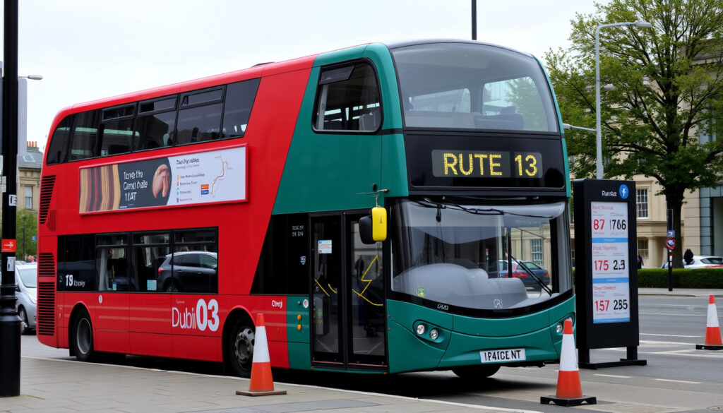
13 Bus Route Dublin: Timetable, Map, Stops & Recent Changes
If you’ve relied on the 13 bus to get around Dublin, you might have noticed something different lately. The route no longer runs north of Parnell Square — a shift that took effect in December 2024 (Transport for Ireland) — and this guide walks you through the updated route, real-time and PDF timetables, and how to plan your journey on Dublin Bus Route 13 today.
Start point: Mountjoy Square South ·
End point: Takeda (Grange Castle) ·
Total stops: 66 ·
Peak frequency: Every 10-20 minutes ·
Operator: Dublin Bus ·
Recent change: Truncated at Parnell Square (Dec 2024)
Quick snapshot
- Grange Castle to Mountjoy Square South (Dublin Bus (Official Operator))
- 66 stops (Moovit (Transit App))
- Serves Ballymun, Finglas, City Centre (Transit App (Journey Planner))
- PDF timetable from Dublin Bus (Official Operator)
- Real-time via Transit App (GPS-Based)
- Google Maps integration for live departures (Dublin Bus (Official Operator))
- Route truncated at Parnell Square (Dublin Bus (Legacy Timetable))
- Replaced by E1/E2 and N2 north of there (Transport for Ireland – National Transport Authority) (Dublin Bus (Legacy Timetable))
- Leap card accepted (Dublin Bus (Official Operator))
- Fare stages based on distance (Dublin Bus) (Dublin Bus (Official Operator))
Six key facts about Route 13, one pattern: the December 2024 truncation reshaped the line from a north-south corridor to a focused city-to-southwest service.
| Start point | Mountjoy Square South (Transport for Ireland (National Transport Authority)) |
| End point | Takeda (Grange Castle) (Transport for Ireland – National Transport Authority) |
| Total stops | 66 (Moovit (Transit App)) |
| Peak frequency | Every 10-20 minutes (Bustimes.org (Journey Planner)) |
| Operator | Dublin Bus (Moovit – Transit App) |
| Last updated | December 2024 (Transport for Ireland – National Transport Authority) |
Bottom line: The 13 bus is now a 26 km south-westerly route. For passengers north of Parnell Square: switch to E1/E2 or N2. For city centre riders: the core service remains largely unchanged.
What is the route of Dublin Bus 13?
Where does the 13 bus start and end?
Route 13 begins at Mountjoy Square South, just east of the city centre, and ends at Takeda (Grange Castle) in the Clondalkin district (Transport for Ireland). Its 66 stops (Moovit) cover about 26 km with a typical journey time of roughly 66-78 minutes (Bustime (Third-Party Tracker)).
What are the main stops?
Key stops along the route include Parnell Square East, O’Connell Street Upper, College Green, Thomas Street, and Clondalkin village before reaching the industrial estate at Grange Castle (Transit App (Journey Planner)). The route serves Ballymun and Finglas north of the city centre? Not anymore — those areas are now covered by the E1, E2, and N2 lines (Transport for Ireland).
The implication: if you used the 13 to reach Ballymun or Harristown, you’ll need to change at Parnell Square.
What is the timetable for Dublin Bus 13?
Where can I find a PDF timetable?
Dublin Bus publishes an official PDF timetable for Route 13 on its website (Dublin Bus – Official Operator). The document lists both directions with approximate off-peak times (Scribd (Timetable Archive)).
Is there a real-time timetable?
Real-time departures for Route 13 are available through the Dublin Bus app, Transit App, and Bustime. These services use GPS data and are generally more accurate than the printed PDF — though reliability can drop in areas with weak signal.
PDF timetables offer planning certainty for weekly schedules, but real-time apps reflect actual bus positions. For peak-hour travel, real-time tools are the better bet because traffic can throw off printed estimates.
The catch: The official PDF warns that times are “off-peak estimates” (Scribd). Rely on real-time for same-day travel.
Where can I find a map of the 13 bus route?
Can I use Google Maps for the 13 bus route?
Yes, Google Maps shows Route 13 as a transit option in Dublin, with live departure times and stop locations. It pulls data from Transport for Ireland’s feed, so it’s a reliable third-party source.
What is the official route map?
The official map is available as a PDF from Transport for Ireland (Transport for Ireland – National Transport Authority). It includes all 66 stops and fare stage boundaries. The same document also shows the replacement routes E1, E2, and N2 north of Parnell Square.
Why this matters: having both the official PDF and a dynamic map like Google Maps gives you the full picture — the static route for reference and real-time positioning for your actual trip.
Has the 13 bus route changed recently?
What replaced the 13 bus north of Parnell Square?
From December 2024, the section of Route 13 that ran north of Parnell Square — through Ballymun to Harristown — was removed. It was replaced by the E1, E2, N2, and 19 routes (Transport for Ireland). The 13 now terminates at Parnell Square East instead of continuing north (Transport for Ireland – Route Change Notice).
When did the changes happen?
The truncation took effect in December 2024. Dublin Bus legacy timetables still show the old route extending to Harristown (Dublin Bus – Legacy Timetable), but those are no longer valid.
The pattern: This is part of a wider network overhaul. The 13 becomes a more focused city-to-southwest service, while the E and N routes cover the former northern leg with better frequency along the Ballymun corridor.
How do I use the 13 bus for my journey?
How to plan a trip on the 13 bus?
- Go to the Transport for Ireland journey planner at transportforireland.ie.
- Enter your start point (e.g., Mountjoy Square South).
- Enter your end point (e.g., Takeda or any stop).
- Review the suggested route – the planner accounts for the recent truncation and will recommend connections if you’re headed north of Parnell Square.
- Check a real-time app (Transit or Dublin Bus) for live departure times before you leave.
Can I use Leap card?
Yes, the Leap card is valid on all Dublin Bus services, including Route 13 (Dublin Bus – Official Operator). Fares are calculated by number of stages, with a maximum single fare of about €2.50 for most journeys within the city. Tap on at the front door.
If you’re planning a daily commute from Grange Castle to the city centre, the 13 is a direct option with a journey time around 78 minutes. But check real-time before leaving — the route can hit congestion on Thomas Street.
For Dublin Bus passengers, the practical advice is clear: know your end stop, have a backup real-time app, and remember that north of Parnell Square you’re on a different route now.
Timeline of changes
- Before December 2024: Route 13 ran full length from Harristown (via Ballymun) to Grange Castle (Dublin Bus – Legacy Timetable).
- December 2024: Route 13 truncated at Parnell Square; northern section replaced by E1, E2, and N2 (Transport for Ireland – National Transport Authority).
What’s clear and what’s not
Confirmed facts
- Route 13 ends at Parnell Square from December 2024 (Transport for Ireland – National Transport Authority).
- Official timetable PDF is available from Dublin Bus (Dublin Bus – Official Operator).
- Total of 66 stops from Mountjoy Square South to Takeda (Moovit – Transit App).
What’s unclear
- Exact frequency may vary by time of day — peak intervals are 10 minutes, but off-peak can stretch to 20 minutes or more.
- Real-time accuracy depends on GPS signal strength, especially in the city centre canyon streets.
- Journey times may vary depending on traffic, especially on Thomas Street.
What Dublin Bus says about Route 13
“Route 13 operates from Mountjoy Square South to Grange Castle (Takeda).”
Dublin Bus (Official Route Map)
“The old route north of Parnell Square is now covered by E1, E2, and N2 services.”
Transport for Ireland (Route Change Notice)
For Dublin commuters who used the 13 to reach Harristown or Ballymun, the shift is undeniable: you now transfer at Parnell Square. For everyone else, the route still connects Grange Castle, Clondalkin, and the city centre with a reliable 10-20 minute frequency. The choice is clear — check real-time before you leave, or stick to the PDF for advance planning, but don’t board expecting a direct ride north of the Square.
For comparison, the restructured Route 11 now serves Phoenix Park instead of Wadelai Park, a change that mirrors the recent adjustments seen on the restructured Route 11.
Frequently asked questions
How many stops does the 13 bus have?
Route 13 in the Grange Castle direction has 66 stops from Mountjoy Square South to Takeda (Moovit – Transit App).
What is the fare for the 13 bus?
Fares depend on the number of fare stages and whether you use a Leap card (recommended). A typical single city centre to Grange Castle journey is about €2.50.
Can I use Leap card on the 13 bus?
Yes, the Leap card is accepted on all Dublin Bus services including Route 13 (Dublin Bus – Official Operator).
Where does the 13 bus stop at Mountjoy Square?
The stop is called “Mountjoy Square South” on the south side of the square, near the corner of Parnell Street.
How long does the 13 bus journey take?
Typical journey time from Mountjoy Square to Takeda is about 66–78 minutes depending on traffic (Bustime – Third-Party Tracker).
Is there a night service on Route 13?
No, Route 13 runs from approximately 05:30 to 23:30 daily. For late-night travel, check the Dublin Bus night network or plan alternative transport.
Are there any disruptions on the 13 bus route?
Disruptions are published on the Dublin Bus website and the Transport for Ireland app. Common causes include city centre events, roadworks on Thomas Street, or industrial action. Real-time apps like Transit show service alerts.
How do I contact Dublin Bus for Route 13?
Contact Dublin Bus customer service at +353 (0)1 703 3000, or use the online feedback form on their website.
More related posts
 I Know What You Did Last Summer 2025: Netflix Release and Sequel
 RIP.ie Death Notices Cork: Search, View & Add Condolences
 Countries in North America – Complete List, Map & Facts
 Ivory Coast National Football Team – Third AFCON Title in 2024
 Heating Bill Assistance Ireland: Fuel Allowance & €400 Lump Sum
 When Is PS6 Coming Out – Rumors Point To 2027-2028
 Buy Mounjaro Online Ireland: Price, Eligibility & Guide
 Where to Learn Languages for Free: Best Apps and Websites